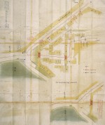
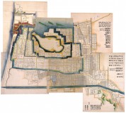
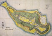
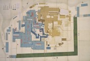
Collection
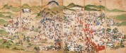
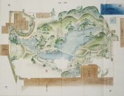
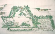
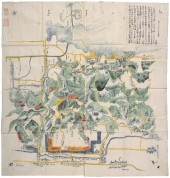
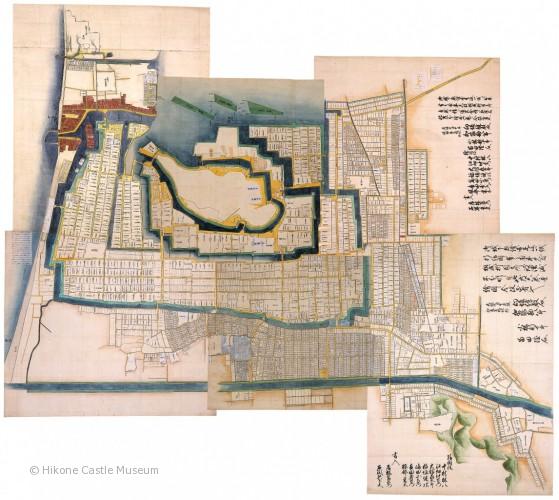
Map of Hikone Castle Town
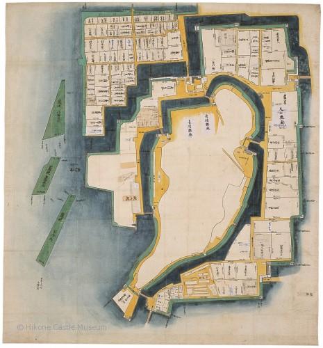

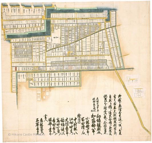
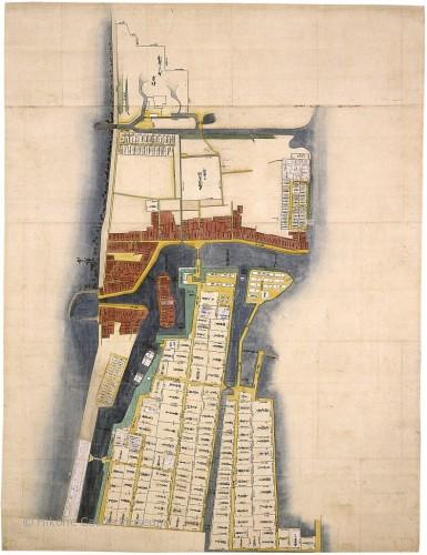
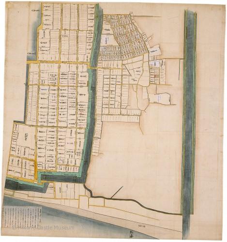
| Map of Hikone Castle Town |
| Set of six hanging scrolls, ink and light color on paper; dated Tenpō 7 (1836); Hikone City Cultural Asset |
This map shows the entire castle town of Hikone, which was located at the time on the edge of the Matsubara Naiko wetland along Lake Biwa’s western shore (later filled in for land development). Except for the blank central area where the castle stands, the town is shown in great detail, including names and dimensions for moats, embankments, streets, temples, shrines, and residences. Commoners and lower- and middle-ranking samurai lived in the area outside the middle moat. The area inside the inner moat corresponds to the space drawn in the Ground Plan of Hikone Castle. High-ranking samurai lived in the area between the inner and middle moats.